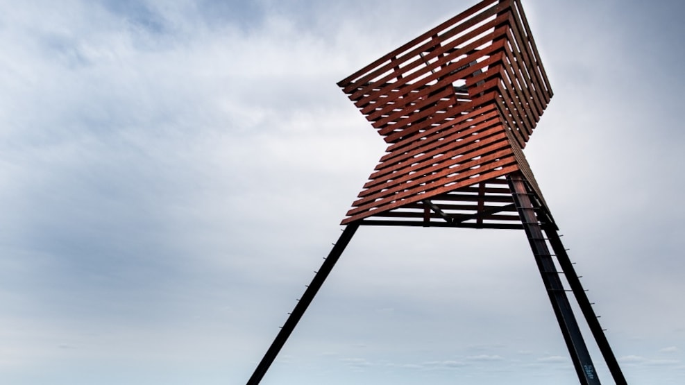
Bøgsted Rende - Point of Orientation
High above the vegetation at Bøgsted Rende in Thy is the impressive point of orientation - a red-painted sea mark of iron and timber shaped like an hourglass.
Segui
The sea mark was erected in 1884-85 as a point of reference for the ships. All sea marks along the coast are different, so that one could determine the ship's position from the chart.
11 of the total of 23 beacons along Jutland's west coast are today protected and reign as large sculptures in the landscape.
Bøsted Rende is located in Thy National Park and is part of Tvorup Klitplantage. The name means »The construction site at Renden«. Here, in the 17th and 18th centuries, there was a watermill by the brook, which runs into the sea. The brownish-red color of the water is due to ocher.
Bøgsted Rende is the place on the Thy coast where the plantation reaches the farthest towards the sea. The oldest trees were planted in the late 1800s. Bøgsted Rende is a popular excursion destination for the whole family.
Longitude: 8.44138383865356
Latitude: 57.0088844189047