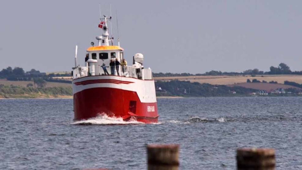
Bågø Harbour
Baagø Harbour
A modern harbour with access to water and electricity on the piers. Built in 2009 with 49 berths and a slipway. Harbour fees are paid at an automatic machine.
The harbour, owned by Assens Municipality, comprises
a 90 x 85 metre harbour basin and a ferry berth.
Multipurpose building
A multipurpose building with a kiosk, waiting room, covered patio, toilets and showers, washing machine and tumble dryer.
Depths:
harbour entrance: 3.0 metres;
harbour basin: 3.0–2.5 metres.
Maximum boat dimensions for calling at the harbour:
length: 25 m, width 6 m and draught 2.5 m.
Water level:
the difference between average high water mark
and average low water mark is 0.5 m.
Winds between N and NE increase the water level by up
to 1.2 m and winds from SW and NW reduce the water level
by as much as 1.6 m.
Approach:
the Sandhammeren spit extends about 0.6 nautical mile
to the south-east from south-west point of Bagø.
Up to 0.4 nautical mile from the spit, the water depth is less than
2 m, but deepens from there to 4 m.
Small craft approaching from NW through Fyrrenden should sail
south around Sandhammeren, after which the harbour should be approached from the south-east on a north-westerly course.
Small craft approaching from the south should pass east of the
green conical buoy on the southeast side of Årø shallows and keep
a northerly course until the harbour can be approached on a
north-westerly course.
Maximum speed: 4 knots.
Anchor ground:
south-east of the harbour in the bay east of Sandhammeren.
Port office: Phone: +45 24 21 47 34.
See also the Danish Electronic Harbour Pilot/ Danske Havnelods.
Boat places: +45 64 71 31 65 8am -12pm